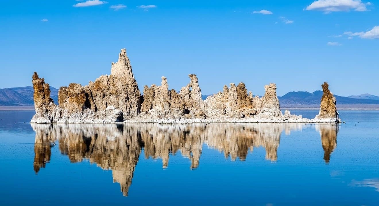
Located near Yosemite National Park, you'll find the ancient “dead sea” due to its salinity, Mono Lake Tufa State Wildlife Refuge. Here in this post, learn all about Mono Lake in California.
What is special about Mono Lake – California?
At over a million years old, Mono Lake is one of the oldest lakes in North America and has an average depth of 100 feet.
Mono Lake is known as the california dead sea 🇧🇷 It is 2.5 times saltier than the ocean and high in alkalinity. This is because Mono Lake has no outlet and only collects water where large amounts of salt accumulate.
But in the true, not dead , instead, teeming with life.
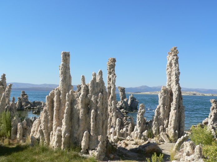
It is known for its uniquely shaped Tufas – columns and pinnacles of solid calcium carbonate formed when freshwater springs meet alkaline lake water.
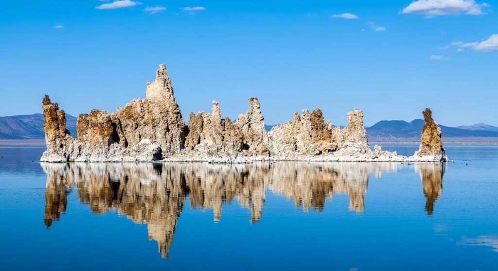
As the lake's water levels receded, these tufts rose from the underwater world and now many sit on the shores for you to explore and admire.
This high salinity and alkalinity has not only created unique tuffs, but a rare ecosystem, which includes green algae, alkali flies and more than 80 species of migratory plates and endemic brine shrimp species.

Circuit of the Towers of Tufa Sul
We went to the entrance of Tufo Sul to walk around exploring the limestone tuffs of Mono Lake. It's a flat, easy 1 mile self-guided nature trail that starts from the parking lot.
The tufts reminded me of stalagmites and stalactites deep in the earth's caverns.
It was crazy to think that if we had hiked this trail in 1941, we would have been waist deep in water. As they are working to raise Mono Lake's water levels, I was grateful for the opportunity to explore them so closely.
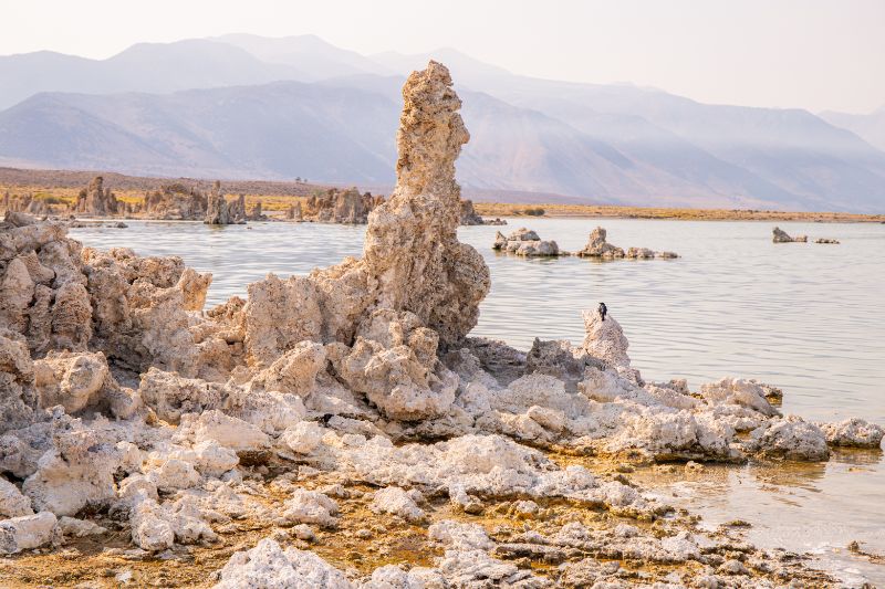
The south shore trail has interpretive panels along the way, sharing the geology and history associated with Mono Lake, Ca.
After 0.3 km, the boardwalk section of the trail ends and you walk on soft sand by the lakes.
Be sure to go around the edge of the trail, do not go back onto the paved section. I really liked the dense tuff formations and outcroppings here and those that form islands a little offshore. There are several stretches of beaches here that are colorful and picturesque with the tufas. I think this was my favorite part of the trail.
You will also have great views over the lake to the Sierras: Mount Dana, Mount Gibbs, Tioga Peak and Mount Lewis.
Don't forget to look out for birds and alkaline flies at the edge of the shallows flying close to the muddy ground. They won't bite you! They provide food for most of the avifauna.
For those who want to do a little more than the South Tufa boardwalk, Navy Beach is where kayaks and canoes typically launch and people swim.

Be ready to float effortlessly! Many believe that a swim in Mono Lake will cure almost anything, so bring your ailments and let them float away!
Sunrise or sunset would be the best time to visit Mono Lake and capture those ethereal images.
The fee is US$ 3 for adults, and there is a kiosk that collects fees most days.
Where is Mono Lake?
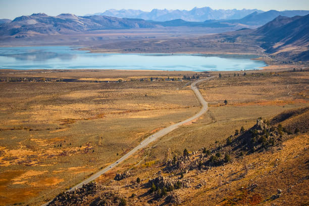
Mono Lake is situated in the Eastern Sierras near the town of Lee Vining. It is 22 miles southeast of Yosemite's Tioga Pass entrance and 20 minutes from Mammoth Lakes, making it an easy trip from any of these places to visit in California.
The Mono Lake Visitor Center is just off US Highway 395 and is the best place to learn about current conditions and view exhibits about the lake's history.
Lee Vining is a small town, but it's where you'll find some amenities like motels, restaurants, and cafes.
While there are no campgrounds at Mono Lake State Nature Preserve, there are some nearby at Lundy Canyon, Lee Vining Canyon and the June Lake Loop.
Mono Lake County Park is a wonderful addition to your Northern California road trip.
Saving Mono Lake – California
Mono Lake is also a good example of the power of people coming together for a good cause: protecting Mother Nature and unique ecosystems like this one.
Mono Lake's surface level was once at an elevation of 6,417 feet in 1941.
It was during this year that the Los Angeles Department of Water built a reservoir in the Mono Basin. This aqueduct that supplies LA with water drained Mono Lake's main tributaries, raising the lake's salinity level and taking away its freshwater supplies.
Mono Lake shrank over the years until the 1970's when the lake reached its lowest point of 6,372 feet (a drop of 45 feet)
Falling levels have caused a land bridge to form between the coast and Negit Island, home to thousands of nesting migratory birds. This land bridge gave predators a way to kill large portions of the bird population, causing an ecological crisis.
This spurred people to come together to form the Mono Lake Committee to fight big corporations in LA and protect the flora and fauna of this region. After a decade of litigation, the California State Board of Water Resources decided to protect Mono Lake and its tributaries by allowing runoff from the Sierra Mountains to replenish the lake.
The reserve was created to protect the tuffs, lake surface level, as well as wetlands and sensitive habitat for the migratory bird species that rest in Mono Lake each year. These birds include California gulls (from the beach), plovers, avocets, red-necked phalaropes, and grebes.
Mono Lake in California
Did you like the tips?!
Enjoy and also read:
Tips for traveling with little money
Bryce Canyon National Park – USA
